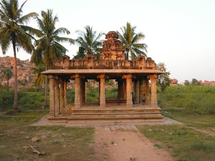
Hampi | 13 Feb 2020
Why in News
Recently, the Supreme Court confirmed the Karnataka government’s decision to demolish restaurants, hotels, guest houses and other buildings constructed in Virupapura Gaddi.
- Virupapura Gaddi is an oval islet formed by the Tungabhadra river and located west of the Hampi (UNESCO World Heritage Site).
- The constructions were in violation of the Mysore Ancient and Historical Monuments and Archaeological Sites and Remains Act, 1961.
- The Karnataka government released a notification in 1988 under Section 19(3) of the 1961 Act indicating the entire village of Virupapura Gaddi as a protected zone.
Hampi
- The site of Hampi comprises mainly the remnants of the capital city of the Vijayanagara Empire (14th-16th century CE), the last great Hindu Kingdom.
- It encompasses an area of 4187, 24 hectares, located in the Tungabhadra basin in Bellary District, Central Karnataka.
- Hampi’s spectacular setting is dominated by river Tungabhadra, craggy hill ranges and open plains with widespread physical remains.
- The sophistication of the varied urban, royal and sacred systems is evident from the more than 1600 surviving remains that include forts, riverside features, royal and sacred complexes, temples (e.g. Vittala Temple), shrines, pillared halls, Mandapas etc.
- One of the unique features of temples at Hampi is the wide chariot streets flanked by the row of pillared mandapas.
