HAL Ties Up HENSOLDT For Tech Transfer | 17 Feb 2023
Why in News?
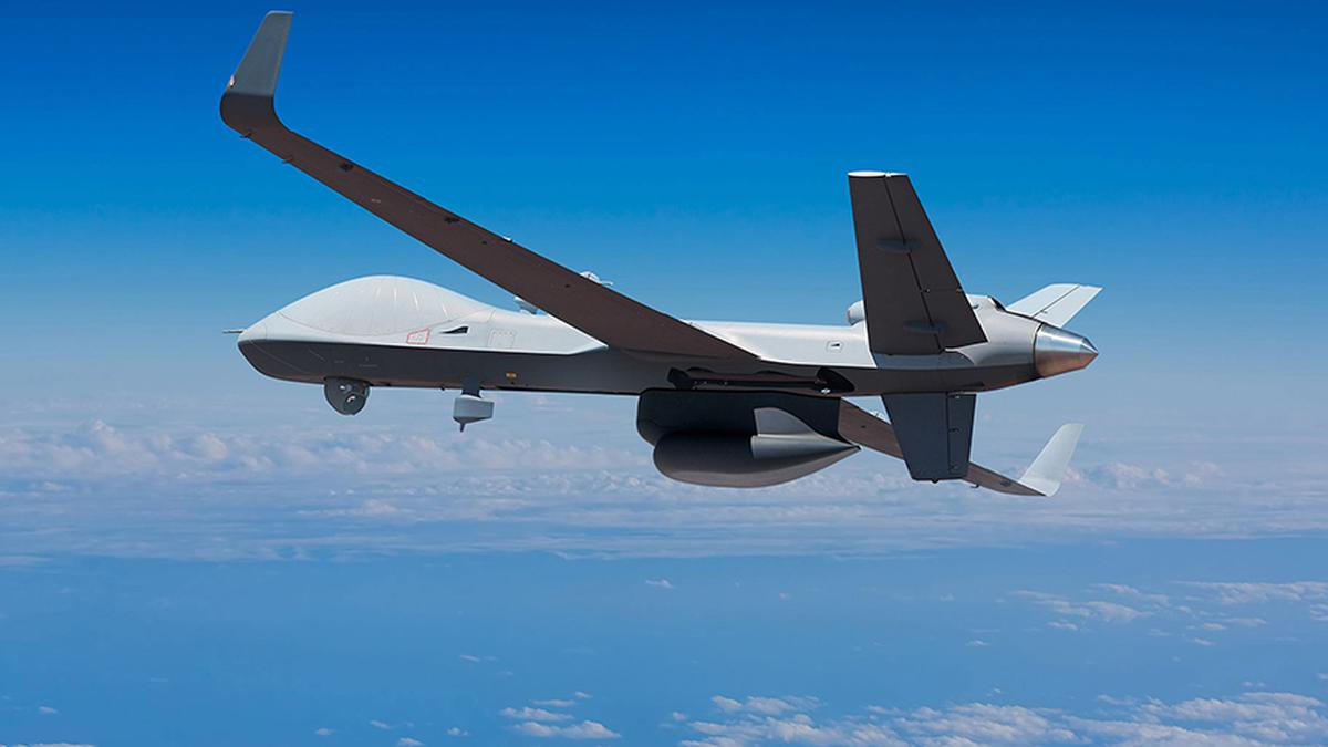
Hindustan Aeronautics Ltd (HAL) will provide Maintenance, Repair and Overhaul (MRO) services for engines of US’s MQ-9B Remotely Piloted Aircraft System as India is in discussions to buy 30 MQ-9B drones to enhance its surveillance capabilities along the China border and the Indian Ocean region.
- In another announcement, Germany based HENSOLDT and HAL announced a collaboration agreement covering design/IPR Transfer for design and manufacturing of Obstacle Avoidance System (OAS) for Indian helicopters.
What is the MQ-9B Sea Guardian?
- The MQ-9B Sea Guardian has changed the game in maritime domain awareness. It’s the first unmanned aerial system of its kind that can search the ocean surface and the depths in support of naval intelligence, surveillance and reconnaissance.
- It is designed to fly over the horizon via SATCOM for up to 30 hours (depending on configuration) in all types of weather.
- General Atomics Aeronautical Systems, Inc (GA-ASI) of US is the manufacturer of the MQ-9Bs.
- Indian Navy operates two MQ-9B Sea Guardians taken on lease in 2020.
What are the Highlights Related to Tech-Transfer Between India and Germany?
- HAL and HENSOLDT will collaborate on the design and manufacturing of Obstacle Avoidance Systems (OAS) for Indian helicopters, primarily the Advanced Light Helicopter (ALH), with potential future exports.
- The OAS system will provide smart visual cues to pilots to reduce their workload, increasing flight safety, and mission effectiveness, particularly in crucial mission phases under adverse visual conditions.
- The system is a LiDAR-based sensor with synthetic vision and 3D conformal symbology to detect objects and terrain, providing assistance to the pilot through safety lines, enhancing situational awareness to increase flight safety.
What is LiDAR Technology?
- LiDAR, or light detection and ranging, is a popular remote sensing method used for measuring the exact distance of an object on the earth’s surface.
- LiDAR uses a pulsed laser to calculate an object’s variable distances from the earth surface.
- These light pulses — put together with the information collected by the airborne system — generate accurate 3D information about the earth surface and the target object.

